Santa Ana · Ahuachapán · Sonsonate
El Salvador’s west
Three volcanoes, a crater lake, a ridge of coffee towns and the Maya villages under the ash. A guide to the western highlands, written place by place.
From the rim down
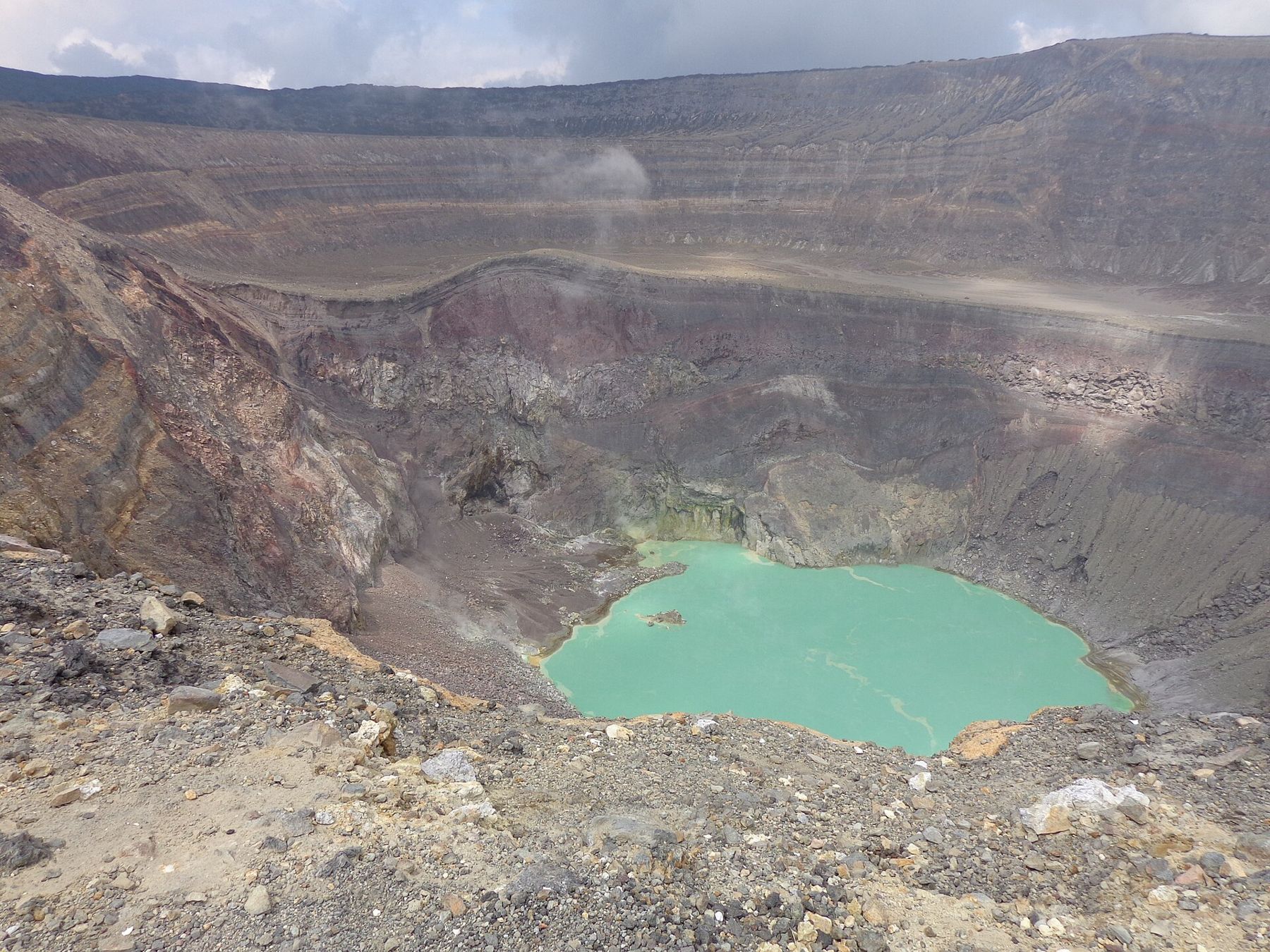
- IlamatepecOver 2,300 m at the rim
- Cerro VerdeAbout 2,000 m
- ApanecaAbout 1,450 m
- Concepción de AtacoAbout 1,200 m
- JuayúaAbout 1,000 m
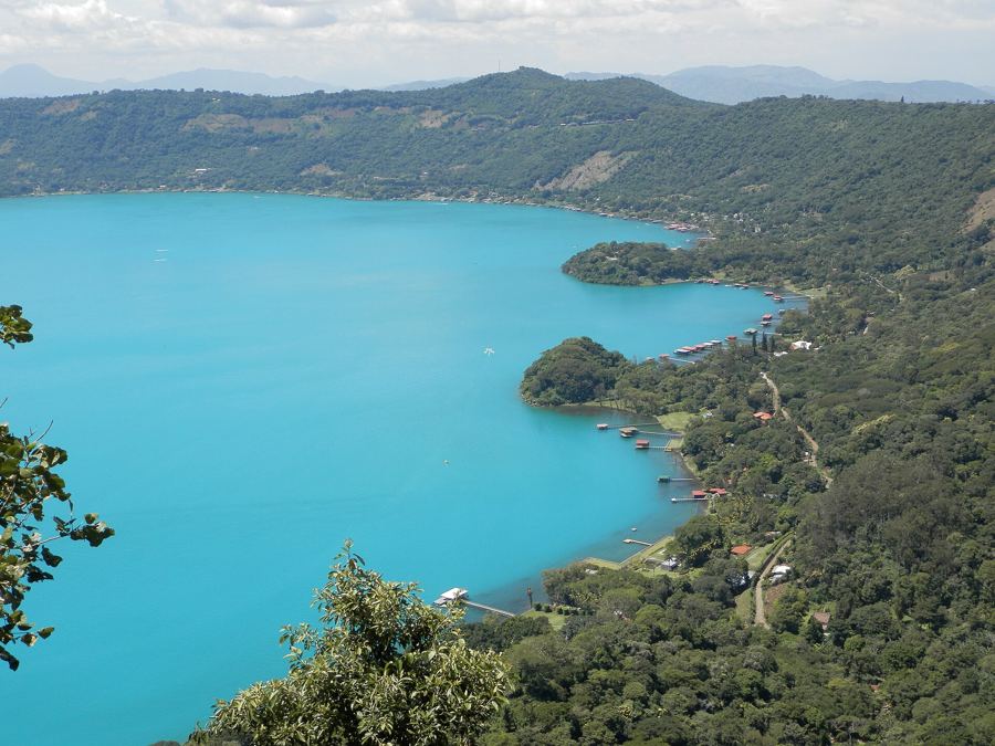
- Lake CoatepequeAbout 750 m at the shore
- Santa AnaAbout 650 m
- ChalchuapaAbout 700 m
- Joya de CerénAbout 450 m
- SonsonateAbout 200 m
01
Santa Ana city
The coffee-boom city under the volcano.
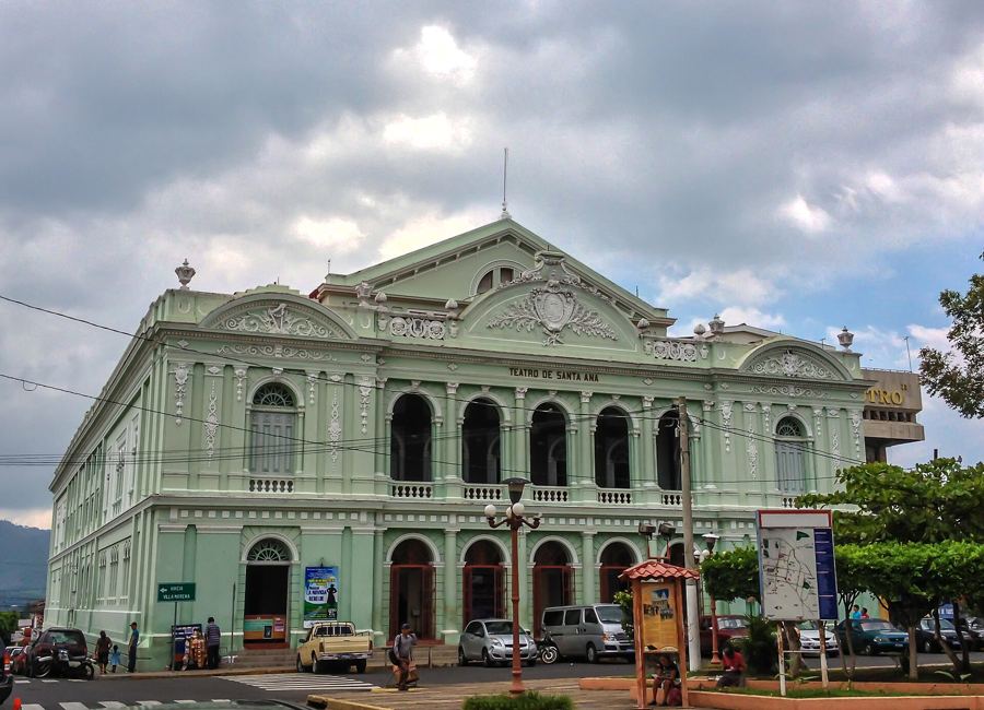
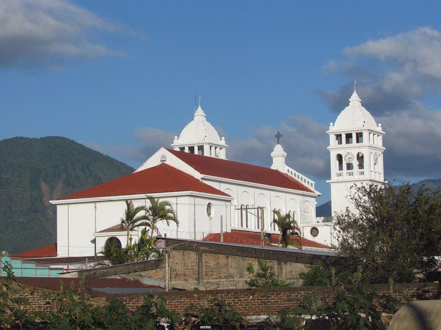
Santa Ana's cathedral and the plaza around it
About 650 mon footHow coffee built Santa Ana
About 650 m in the citybus or car
04
Ruta de las Flores
Mountain towns, murals and coffee on the ridge.
Juayúa and the weekend food fair
About 1,000 mbus or carConcepción de Ataco, a town of murals
About 1,200 mbus or carApaneca, the highest town on the route
About 1,450 mbus or carNahuizalco and Salcoatitán: wicker, candles and Nahua roots
About 550 m in Nahuizalcobus or car
On the coffee slopes
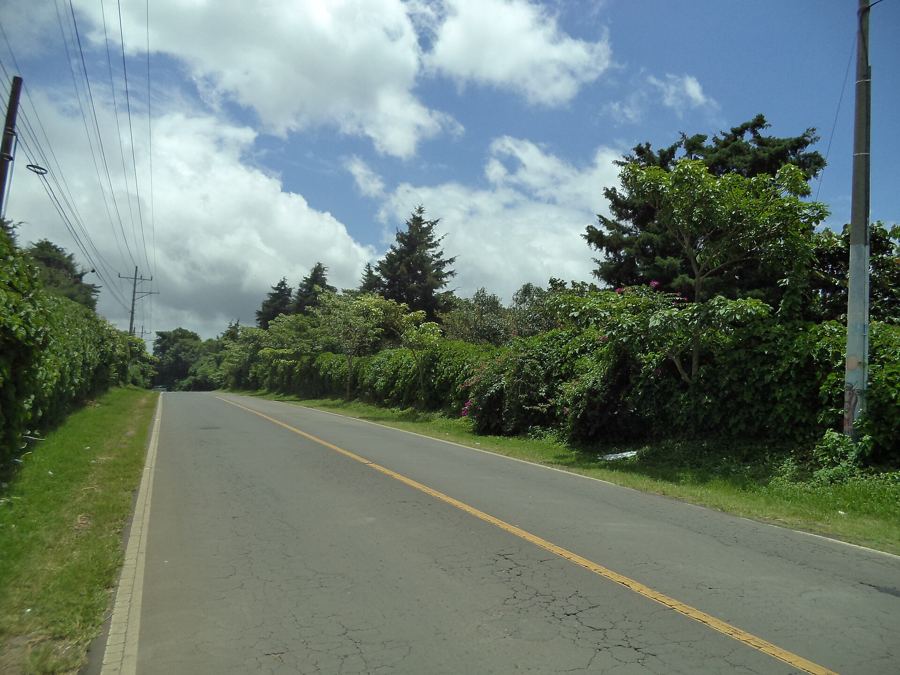
The harvest on the slopes around Santa Ana usually runs through the dry months, when cherries ripen red and pickers work row by row down the hillsides.
Santa Ana
Ataco is surrounded by coffee fincas, and the harvest in the dry months fills the hills with pickers. The town's cool air suits the high-grown coffee of the Apaneca range.
Concepción de Ataco
Apaneca's height gives slow-ripening, high-grown coffee. Seen from the hills, the town is an island of roofs in a sea of shaded coffee bushes.
Apaneca